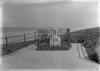
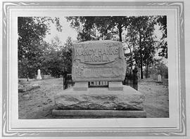
A black and white photograph taken of the Tomb of Little St. Clair Pollock, which was erected to memorialize the passing of a child who fell to their death on that property when they were five years old. This property was eventually sold with the stipulation that the memorial be kept; the property eventually was acquired by New York City as part of what is now Riverside Park.
There are two blueprint maps. The first shows the town of St. Johns c. 1850. The second shows a blueprint map of additions to Port Clinton Lake County Illinois. Original plat surveyed by Geo. Gage Jan. 1850. 1st Addition surveyed Jan. 1851 and Oct. 1852.