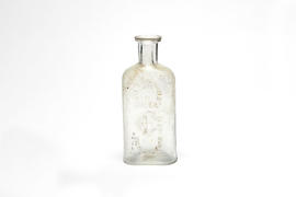
Geo. B Cummings, Druggist, Highland Park
- US IlHpHS obj-2018.2
- Item
- circa 1885-1909
Part of Artifacts collection
Medicine bottle. 13.5 cm. (h.)
Cummings, Geo. B
2366 results with digital objects Show results with digital objects
Geo. B Cummings, Druggist, Highland Park
Part of Artifacts collection
Medicine bottle. 13.5 cm. (h.)
Cummings, Geo. B
Geographical Statistical and Historical Map of Illinois
Part of Maps
This is a geographical, statistical, and historical map of Illinois from 1820. It is colorized. It includes background information about Illinois such as Situation, Boudaries and Extent; Face of the Country, Soil and Production; Rivers; Climate; Chief Towns; Canal; Public Lands; Education; Government; and Historical Sketch.
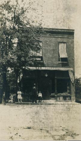
George Tucker's Grocery and Meat Market
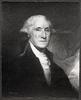
George Washington Esq., President of the United States of America
Photograph of George Washington portrait by Edward Savage.

George Washington in 1772 as colonel of the Virginia Regiment/ painting by Charles Willson Peale
The original oil on canvas by George Willson Peale is often described as the earliest portrait of George Washington. He is depicted in his Virginia Regiment uniform, painted in 1772.

Photograph of the Athenaeum Portrait (1796) of President George Washington as engraved by A. W. Elson and Company, Boston c1893.
Photographed from An Illustrated Handbook of Mount Vernon : the Home of Washington/ published by the Mount Vernon Ladies Association c1911.
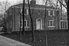
Part of Visual : Elm Place School
Part of Individual file
Geraghty's Map of Part of Lake County
Part of Maps
This is Geraghty's map of part of Lake County compiled from official records and actual surveys by F.J. Geraghty Surveyor, Lake Bluff, Ill. The map shows eastern lake county townships: East Deerfield, West Deerfield Shields, Vernon, Libertyville, Warren, and Waukegan.
FJ, Geraghty, Mr.